High Exposure Extends Drone Services to Wagga Wagga

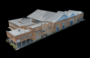


Drones have become an essential tool for building inspections, providing efficiency, safety, and high-quality deliverables. This guide covers the pre-flight tasks, inspection methodology, safety considerations,

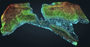
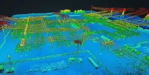
How LiDAR Surveying Works Lidar technology has been available since the late 1960’s and for commercial purposes for around two decades. As it becomes

Ground Sampling Distance (GSD) in Photogrammetry Essentially, the Ground Sample Distance (GSD) determines the spatial resolution of a map or 3D model. GSD is the

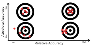
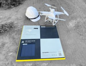
In the world of drone mapping, accuracy is everything. Whether it’s in relative terms or absolute. The level of precision required depends on a multitude