Volumetric Stockpile Drone Survey
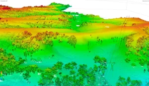
Project Objectives High Exposures was commissioned to conduct a LiDAR survey on an 800-meter section of the Nepean River. The objective of this survey was

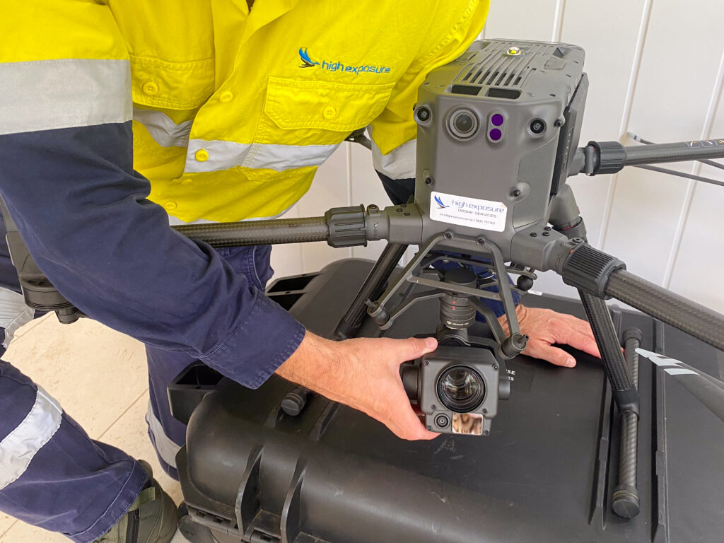
High Exposure has positioned itself as a leading provider of drone survey and inspection services across Queensland by harnessing advanced aerial drone technology and a commitment to excellence. With a strong presence throughout the region, High Exposure utilises state-of-the-art drones equipped with advanced sensors, including LiDAR and photogrammetry systems. These technologies enable the capture of highly detailed and accurate data, facilitating comprehensive surveys and inspections. The company employs skilled drone operators and surveying professionals who are well-versed in the specific challenges and requirements of the diverse landscapes and infrastructure found across Queensland. High Exposure’s services extend to various sectors, including agriculture, mining, construction, and environmental monitoring. Their approach not only enhances the efficiency and accuracy of traditional survey methods but also contributes to the sustainable development and maintenance of critical infrastructure throughout Queensland. This widespread coverage and commitment to utilising the latest technologies establish High Exposure as a go-to provider for drone survey and inspection services across the entire region.

Our team has been capturing aerial and spatial data since 2016, providing a wealth of knowledge and experience in the field. We have built proven methodologies and scopes of work for every scenario
Safety is our highest priority in all of our operations. We hold all required CASA licenses and insurance to ensure a smooth operation
Your project goal is our priority. Our team of passionate professionals will work with you to ensure we get a result that solves your questions

Project Objectives High Exposures was commissioned to conduct a LiDAR survey on an 800-meter section of the Nepean River. The objective of this survey was

Project Objectives High Exposures was commissioned to conduct a LiDAR survey on an 800-meter section of the Nepean River. The objective of this survey was

Project Objectives A 340ha parcel of land, located one hour west of Sydney, was assessed by developers for a preliminary development application. High Exposure was